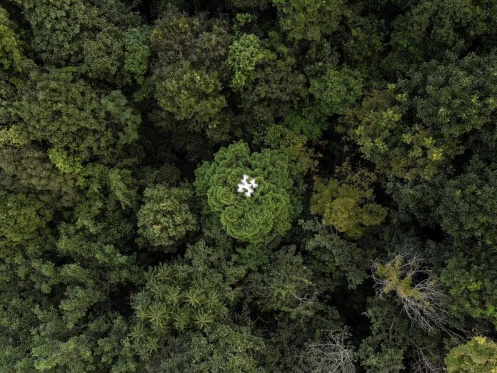
A drone hovers over a forested area on a hillside overlooking cabbage fields near Chiang Mai, capturing images that will be used to create a 3D model of the woodland’s health and carbon absorption capabilities. As scientists strive to better understand forests and their impact on climate change, drones have become a vital tool in their arsenal. With deforestation causing a 12 percent reduction in tree cover globally since 2000, it is essential to have accurate data on the amount of carbon that forests can absorb. Traditional ground surveys are labor-intensive and can damage the forest, but drones provide a non-intrusive solution, allowing researchers to collect essential information without setting foot in the woodland.
